The Hidden Beauty of the Once Famous Kodaikanal-Munnar Road
The old Kodaikanal – Munnar road brings back memories of lush greenery, aromas of tea and coffee plantations, dense forests and clean air. This glorious road was among the highest roads in India and was closed in 1990. It was improved upon as an evacuation route by the British for a possible Japanese invasion in the south.

Located in Dindigul and Theni Districts of Tamil Nadu and Idukki district of Kerala, it covers a total of 81 kilometers. The maximum elevation is 8,140 ft just south of Vandaravu Peak.
It starts as Club Road at an elevation of 6,900 ft at Kodaikanal Lake. The views here are simply breathtaking with vantage points at Pillar Rocks Viewpoint, Moir point and the Green Valley View also known as the Suicide Point. Sounds ominous but well worth climbing up the Upper Shola road.
Towards the villages of Poombarai and Kukkal, there is a loop of 40km called the Forty Mile Round. This is a haven for trekkers and adventure lovers. This route takes you through Berijem lake to the border of Kerala. On the way you can spot the sheep farm of Mannavanu and a view of the cliffs. We recommend you hire a local guide to avoid getting lost in this paradise. Small streams and rivulets are the only company you will have here.
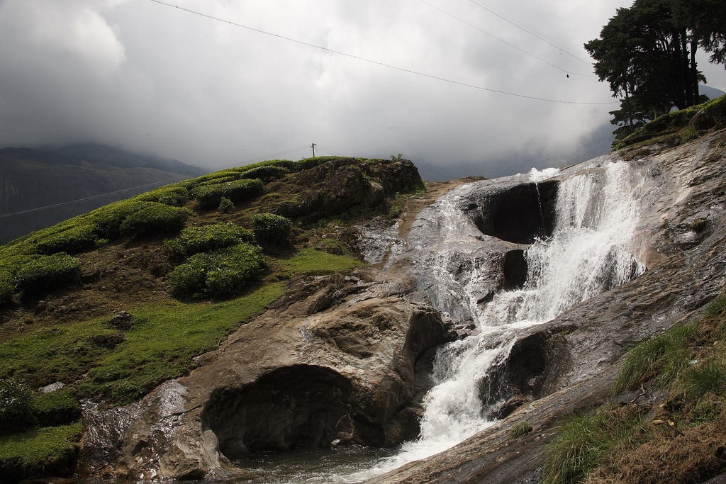
The next stop is the proposed Palani Hills Wildlife Sanctuary and National Park. Partly damaged campsite called the “Britisher’s Transit Camp” is one of the World War 2 transit camps. One of the campsite at Berijam is still used as a Forest Rest house. If you are adventurous enough you can trek to the Konalar Dam. Once you exit the pine forest, you will reach the pristine waters of the dam. The water runs pretty cold, so dive in at your own risk. Further ahead the road passes across a bridge over the Kathirikkai Odei stream. Along the stream, the path leads to a waterfall. This then passes along the east side of Vandaravu Peak where as we mentioned earlier is its highest point at 8,140 ft. It finally crosses the Kerala border and meets the Pampadum Shola National Park.

If you have never heard of this national park, we will not be surprised. This is the smallest national park in Kerala. Translated it means, the forest where the snake dances. It protects the evergreen shola forests and the elusive Nilgiri marten. Along with this carnivore, there are also tigers, lion tailed macaque, wild dogs and leopards. The road from this point has believe it or not 17 hairpin bends! It finally becomes SH-18 which is well maintained and leads to Munnar which is 31 kilometers away.
The Once Famous Kodaikanal-Munnar Road is now in disrepair after the Tamil Nadu Forest Department and the Kerala Highways Department disputed over its ownership. It is still used by the locals and adventurous trekkers. Since the road is not manned, you can occasionally encounter wild animals like bison, elephants and even leopards. If you want to trek in this area you need permission from the Tamil Nadu Forest Department and the Kerala Forests and Wildlife Department. There are 17 different treks you can try depending on your fitness from a leisurely walk to a challenging day trek.
Are you excited or too scared to start this adventure? If you are the former, you can either stay at Kodaikanal and start your journey at the club road. You can either stay at Sterling Kodai Lake or Sterling Kodai Valley. Both stunning in their own way, are a great starting point. The Kodai Lake property is styled on the lines of elegant English countryside. On the banks of the picturesque lake, this resort will surely wow the lake lovers. The Kodai valley property on the other hand is nestled within the misty mountains in a village called Villpatti. There are many good tourist places to see in Kodaikanal. Problem of plenty? We think so!


