


Sar Pass Trek- A Story of One of the Most Incredible Himalayan Trek
Hiking to the Himalayas is an affair of a lifetime and I consider myself very lucky to have experienced it. I saw some of the most breathtaking views of the valley amidst the beauty of the imposing Himalayan range. Sar Pass is among the many popular trekking routes in the Himalayas. This pass is located in the state of Himachal Pradesh at a height of 13,800 feet above sea level and the trek starts from the small town of Kasol.
The Youth Hostel Association of India (YHAI) organizes this trek every year in the month of May and June. For each trek, a batch of 30 people are chosen from different walks of life and everything needed for the trek is taken care of by the organizers such as lodging, trekking gear, and, food. If you wish to join this trek, you must book your slot by November or December as all the slots are filled by the end of January and I was lucky to get one in February only because there was a cancellation.
Starting at the Base Camp in Kasol
Before the trek began, I had to go through an acclimatization program as the trekking route passes through high altitude terrain. This program starts with a light exercise in the form of jogging around an open ground followed by rappelling and rock climbing which I enjoyed the most. After the exercise, I had my lunch after which I just relaxed and prepared myself for the gala evening.
Camp 1: Grahan
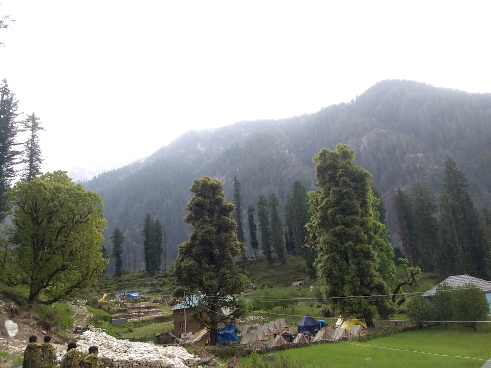
The trek started when we left Kasol and travelled the 9 km journey to Grahan which was our next stop. It took me close to seven hours to cover this stretch. During the journey, we walked through thick forests with the river Parvati by our side for almost the whole journey. For me, this was the simplest stretch as the terrain is not rough. The Grahan camp is located close to a rural settlement.
Camp 2: Padri

Our next stop after Grahan was Padri. This is probably the easiest stretch as the path is not very steep and it took us about six hours to complete this stretch. Once I reached the camp, I had enough time to play games and bond with my group.
Camp 3: Ming Thatch

The stretch from Padri to Ming Thatch is one of the most difficult mainly because of the steep path. With frequent breaks, our group took eight hours to cover this route which is 11.5 km long. There was a stretch where we had to walk on ice and snow which was quite slippery, and we had to be extra careful while covering this route. Extreme weather conditions made our journey quite rough, but it was totally worth the risk!
Camp 4: Nagaru
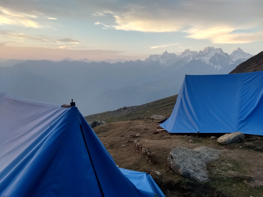
The route from Ming Thatch to Nagaru is mostly covered in snow. From here I could only see snow-covered mountains around and the air got thinner, but the feeling of reaching the highest campsite at 12500 ft was exhilarating.
Camp 5: Biskeri
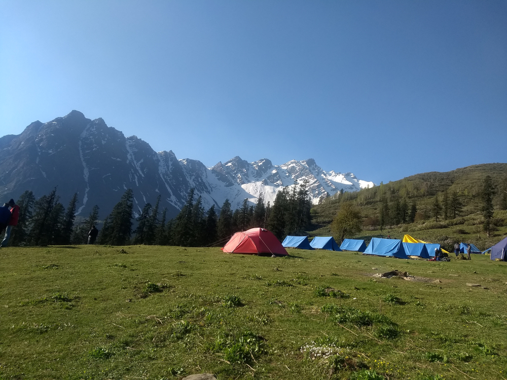
We finally accomplished what we set out to achieve on this day as we cross Sar Pass before reaching the camp at Biskeri. The climb up is quite steep, and we had to slide on the snow to descend. Thankfully, there was no blizzard and we reached the camp without any difficulties.
Camp 6: Barsheni
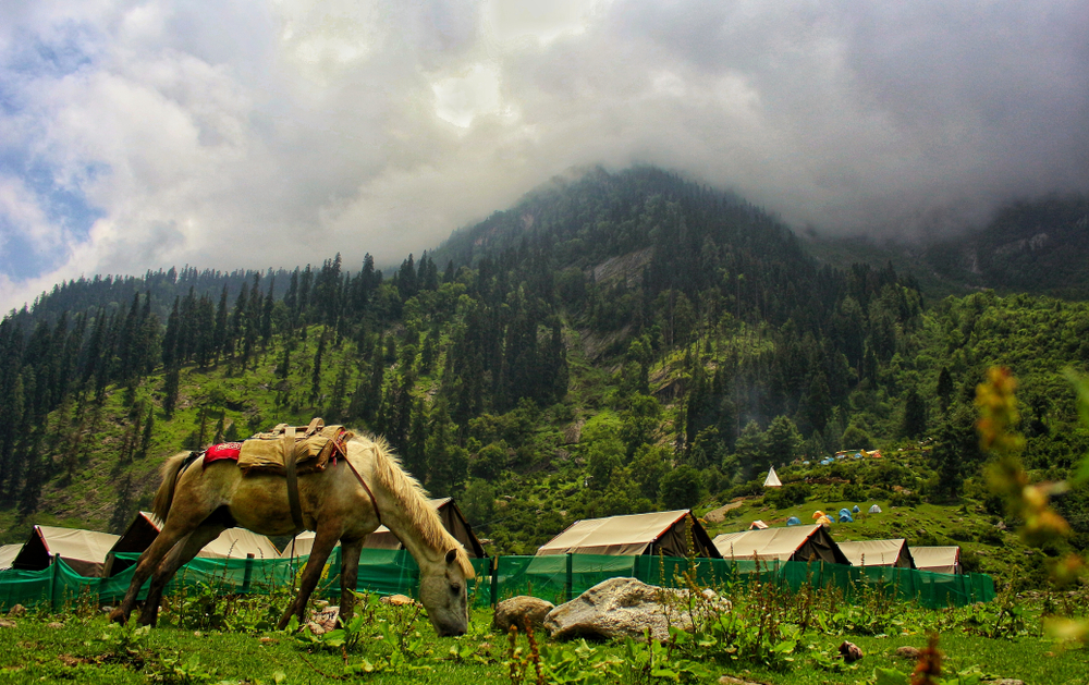
The camp at Barsheni is located at a lower altitude we saw human settlements again after a while and a huge dam on the river Parvati. This is where I realized the extent of our achievement and the proof was clearly visible on our faces when we saw our sunburnt skin. We finally finished our trek on the seventh day and I experienced a sense of achievement which is hard to describe.
I have never been this tired in my life and I enjoyed the much-needed rest at the Sterling Resorts in Manali which is just 88 km away from Barsheni.